Case study
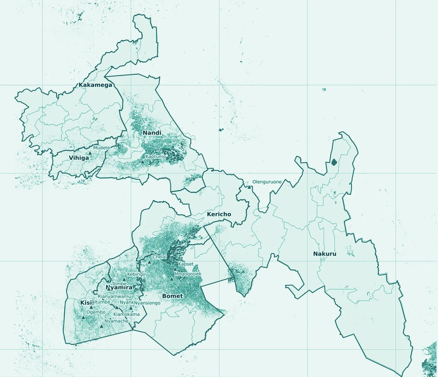
Field-level tea mapping, Kenya
- Tea
- Kenya
- Sysmera analysis
Kenya282,727 ha
Context
An open, peer-reviewed dataset and a 10 m satellite map, built into a processing chain for every tea-growing area.
What we built
A processing chain over an open, peer-reviewed dataset and a 10 m satellite map; an atlas, an interactive map, a data pack and a field-validation protocol.
Outcome
282,727 ha of Kenyan tea mapped at field level from open satellite data and 16,825 hand-labelled fields.
Figures
282,727 ha
of tea mapped at field level
16,825
hand-labelled fields behind the model
10 m
Sentinel-2 resolution, 2023
Contains modified Copernicus Sentinel data 2023.
Get in touch
Tell us what the field needs.
Send the terms of reference, the concept note or a one-line description. An engineer who has run a census replies within two working days.